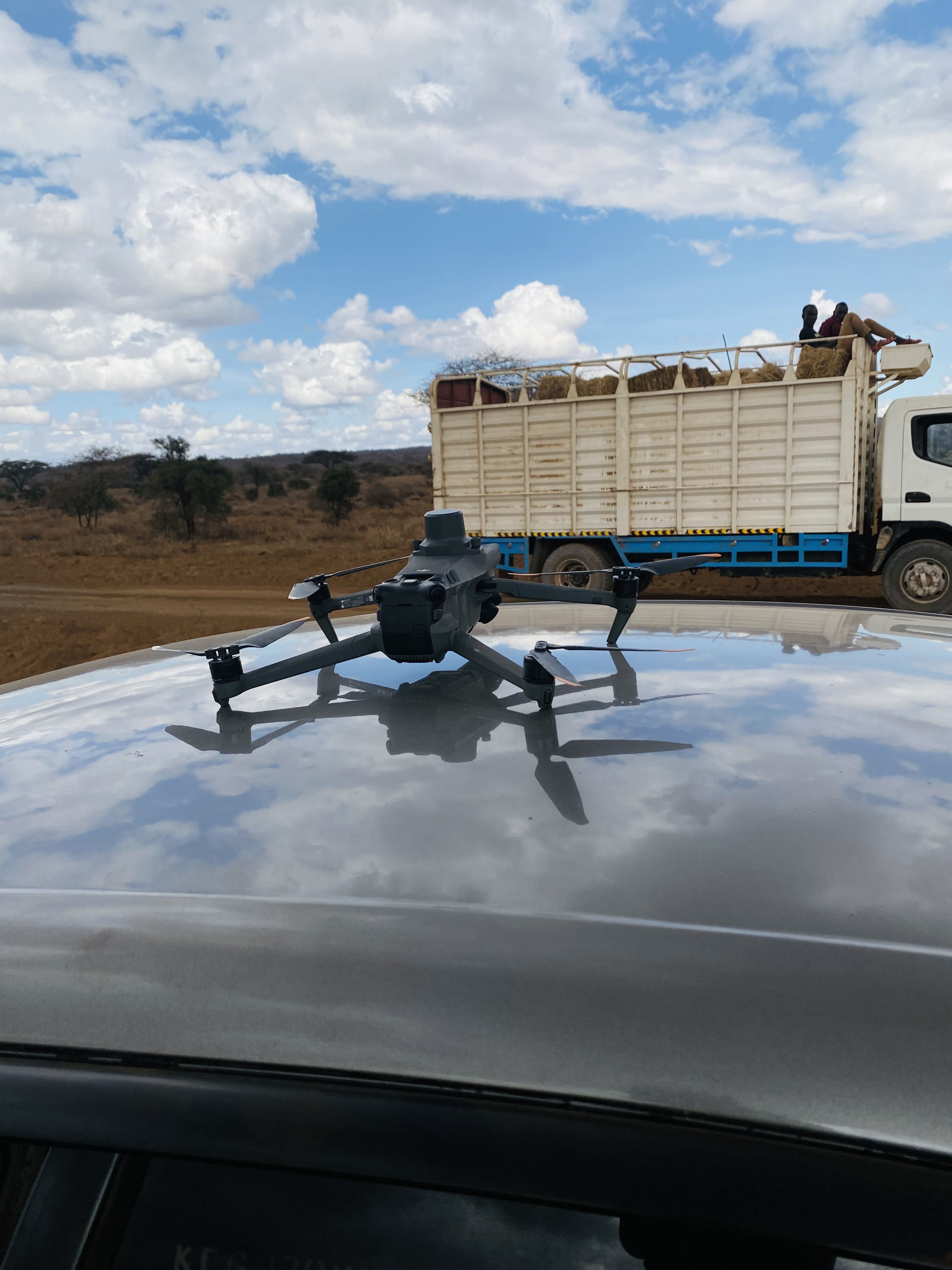
Topographic Drone Survey
High resolution aerial survey using UAV photogrammetry to generate orthomosaic imagery and digital elevation models for a large development site. Deliverables included contour maps, cut-and-fill volumes and a geo-referenced orthophoto for engineering design.
Subdivision and Title Processing, Kajiado
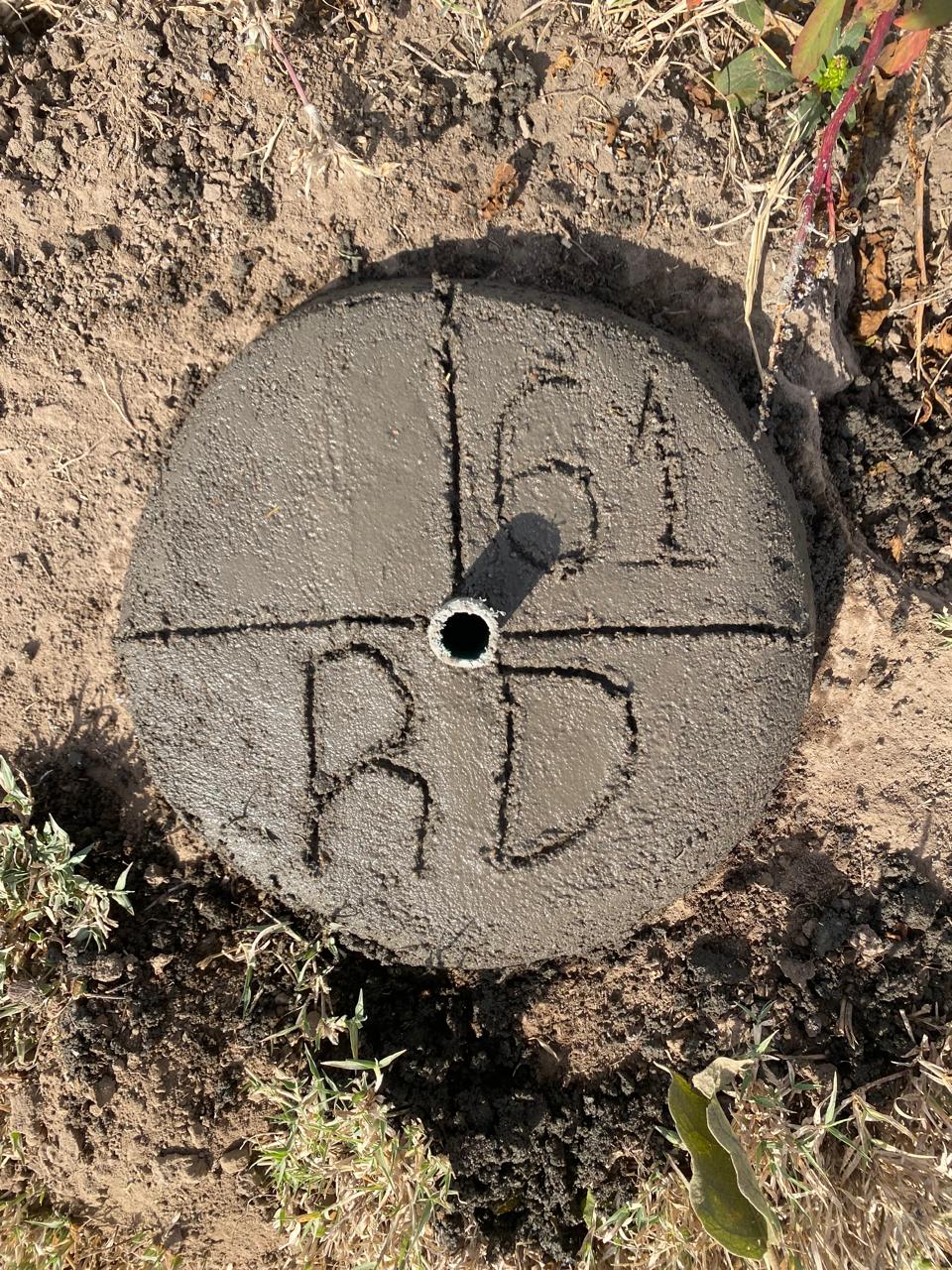
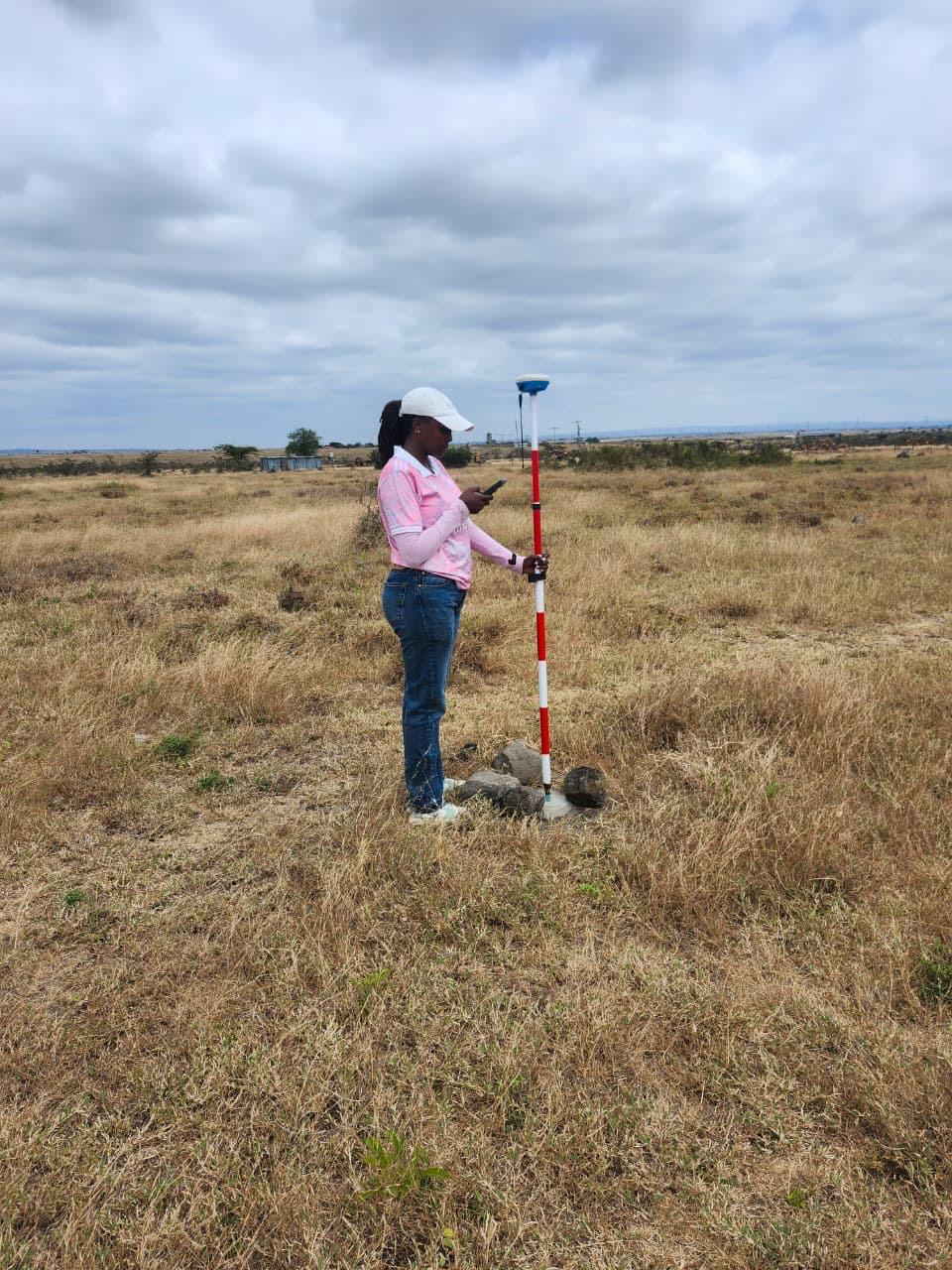
Full cadastral subdivision survey for a large parcel in Kajiado County. Work covered boundary demarcation, beaconing, subdivision plan preparation and title processing support through the Ministry of Lands. Each sub-plot was individually mapped, numbered and presented for registration.
Subdivision and Title Processing, Konza Corridor
Parcel subdivision and title processing along the Konza technology corridor. Survey involved establishing boundary coordinates, preparing mutation documents and coordinating with the county land registry to process individual title deeds for multiple plot owners.
Land Confirmation and Due Diligence
Pre-purchase land confirmation assignments for private clients across Nairobi and peri-urban counties. Each engagement covered title deed verification, physical boundary confirmation, encumbrance checks, soil and terrain assessment, and a written due diligence report with a clear recommendation on whether to proceed.
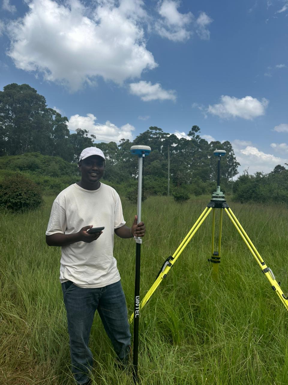
Pre-Construction Topographic Survey, Murang'a County
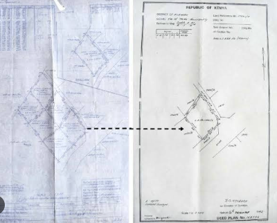
Topographic survey carried out on a residential plot in Murang'a County ahead of home construction. The survey established ground elevations, drainage flow directions and slope gradients across the site. Deliverables included a detailed contour map and elevation data used directly by the structural engineer for foundation and drainage design.
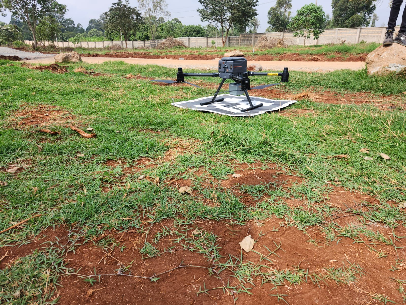
Drone Topographic Survey, Kiambu County
Drone-assisted topographic survey covering a large parcel of land in Kiambu County. The DJI survey drone was deployed to capture high-resolution aerial imagery and generate a digital elevation model of the entire site in a single day. Outputs included an orthomosaic map, DEM, and contour plan delivered in GIS-ready formats for the client's development planning.
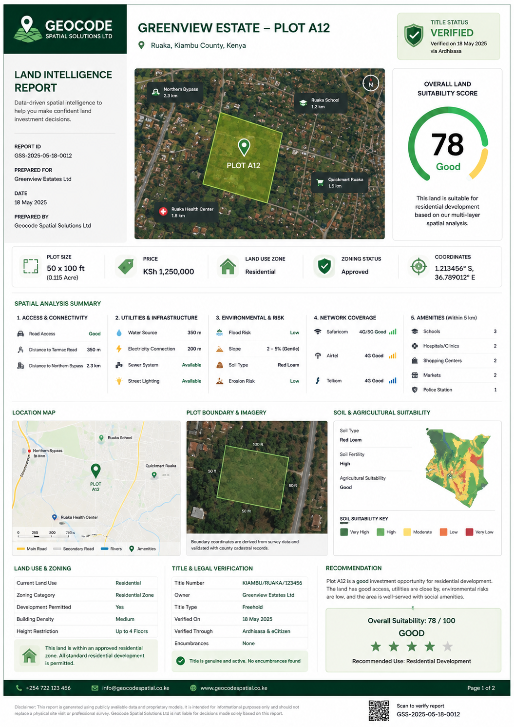
Land Intelligence Platform
A spatial intelligence product being built for land selling companies across Kenya. When a buyer clicks on a plot, they see a full data dashboard soil type, flood risk, road access, mobile network coverage, proximity to schools and hospitals, and a computed land suitability score. Designed to reduce buyer uncertainty and help land companies close faster.
Spatial Consulting for Land Selling Companies
Advisory and technical support for land companies looking to improve how they present, verify and sell parcels. Services include survey coordination, parcel data enrichment, GIS layer preparation and spatial due diligence reviews that give companies accurate, credible information to share with buyers before sale.

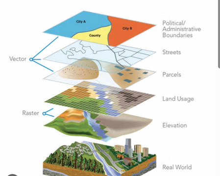
Environmental and Infrastructure Spatial Analysis
Multi-criteria GIS analysis for infrastructure siting and environmental assessment. Work combined satellite land cover data, elevation models and infrastructure proximity layers to produce ranked site suitability maps used by the client for planning decisions.