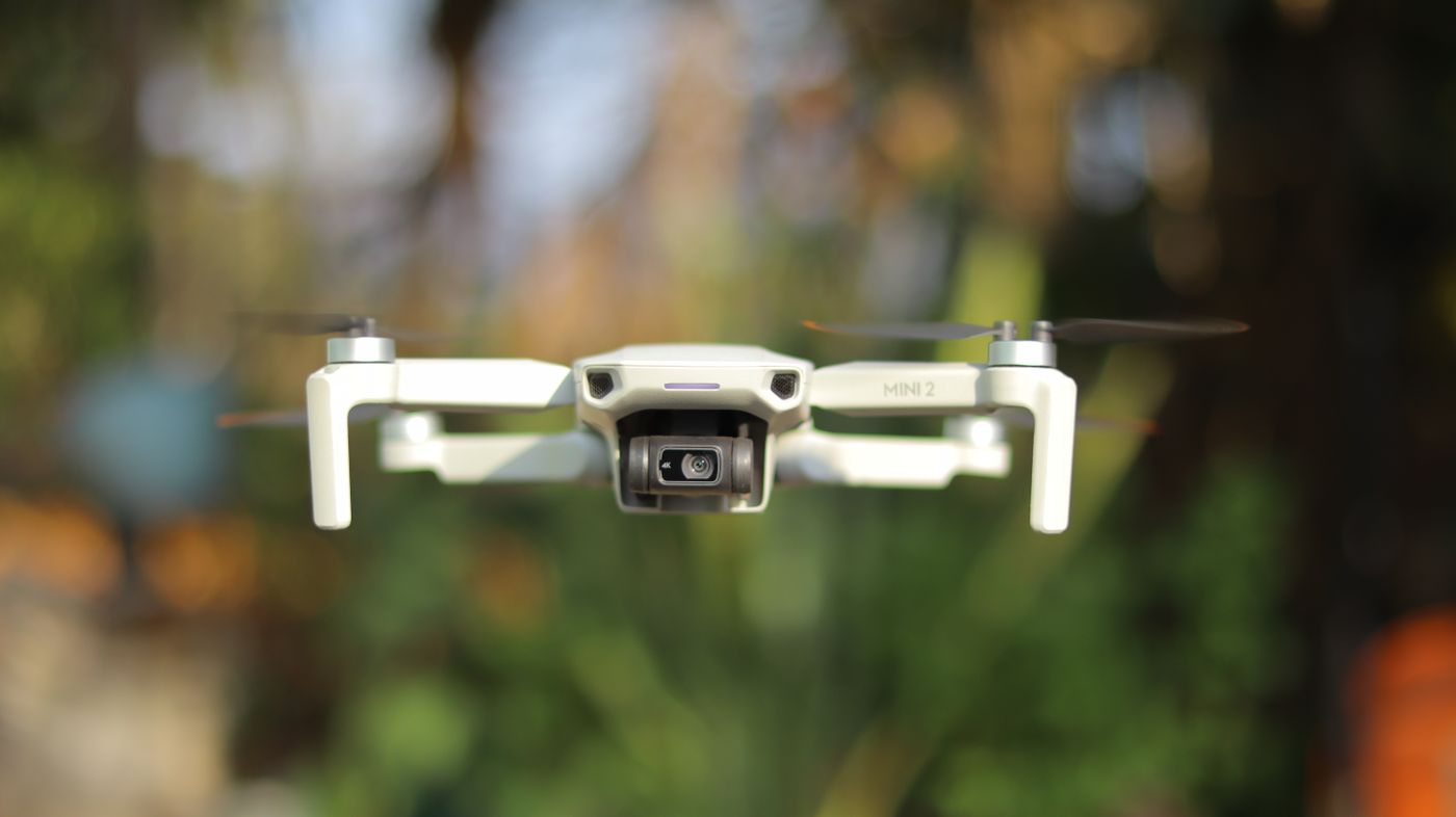
A topographic survey that once took a team of five surveyors two weeks on foot can now be completed in a single day from the air. Drone photogrammetry has arrived in Kenya, and it is quietly reshaping how land is measured, mapped and managed across the country.
For developers, county governments, engineers and land owners, the implications are significant — not just in terms of speed, but in the quality and depth of spatial data that is now accessible at a fraction of the traditional cost.
What drone surveys actually produce
When most people hear "drone survey," they imagine a video clip or an aerial photograph. The reality is considerably more powerful. A properly executed drone photogrammetry mission produces three primary deliverables that are directly usable for engineering, planning and GIS work.
The first is an orthomosaic — a geometrically corrected aerial image where every pixel corresponds to a real-world coordinate. Unlike a standard aerial photo, an orthomosaic is spatially accurate, meaning you can measure distances, areas and angles directly from it. For a development site in Kiambu or Machakos County, this gives your architect and engineer a precise, georeferenced top-down view of the entire property.
The second deliverable is a Digital Elevation Model (DEM), which represents the terrain surface as a grid of elevation values. This is the foundation of earthworks calculations — cut and fill volumes, drainage routing, slope analysis and flood risk assessment. Without an accurate DEM, these calculations are estimates at best. With one, they are precise.
The third is a 3D point cloud — a dense collection of millions of measured points that together reconstruct the terrain and any structures on it in three dimensions. This is used for infrastructure inspection, as-built verification and detailed volumetric analysis of stockpiles or earthworks.

The accuracy question
A common concern from engineers and surveyors encountering drone surveys for the first time is accuracy. Can a drone really match the precision of a traditional total station survey?
The answer depends on the application — and when set up correctly, drone surveys can achieve horizontal accuracy of 2 to 5 centimetres and vertical accuracy of 3 to 8 centimetres using ground control points (GCPs). For topographic surveys, infrastructure siting and volumetric calculations, this level of accuracy is more than sufficient.
For cadastral work — establishing legal boundaries for title registration — a drone survey complements but does not replace a licensed ground survey. The drone gives you the terrain model and high-resolution imagery; the survey team establishes and verifies the legal boundary coordinates on the ground. The two work together.
A drone survey at 2cm resolution captures detail that can change the outcome of cut-and-fill calculations, drainage design and infrastructure placement decisions.
What it means for Kenya specifically
Kenya's terrain is varied and often challenging. The Rift Valley, the slopes of Mount Kenya, the coastal plain, the Kajiado savanna — each presents different survey conditions. Traditional ground survey in rocky, steep or densely vegetated terrain is slow, expensive and sometimes dangerous. Drone surveys remove most of those barriers.
For county governments managing large infrastructure programmes, drone surveys mean faster baseline data collection for roads, water systems and urban expansion planning. For developers working on large parcels — particularly in peri-urban areas like Ruiru, Athi River, Ongata Rongai and along the Nairobi-Mombasa corridor — drone surveys compress the timeline between site acquisition and design commencement significantly.
Typical drone survey advantages over conventional ground survey
- Survey time reduced from 2 to 3 weeks to 1 to 3 days for a 50-acre site
- Orthomosaic resolution of 2 to 5 cm per pixel versus point-by-point ground data collection
- Full terrain model generated automatically, not reconstructed from spot heights
- Photographic record of site conditions at time of survey included as standard
- Data delivered in GIS-ready formats: GeoTIFF, LAS, DXF, SHP
- Repeat surveys at intervals to monitor change — construction progress, erosion, vegetation
How we use drone surveys at Geocode Spatial Solutions
At Geocode Spatial Solutions Ltd, drone surveys sit at the intersection of our field operations and GIS capabilities. We do not treat them as a standalone service — we integrate the data they produce into the broader spatial intelligence workflow.
For a typical development site engagement, the drone survey provides the terrain foundation. That data is then fed into our GIS environment alongside soil data, infrastructure proximity layers and environmental risk models to produce a comprehensive site suitability assessment. The result is not just a map — it is a decision-ready spatial intelligence package.

What to look for when commissioning a drone survey
Not all drone surveys are equal. If you are commissioning aerial survey work in Kenya, there are a few questions worth asking your provider before you commit.
Are they licensed? The Kenya Civil Aviation Authority (KCAA) regulates drone operations in Kenya. Any commercial drone survey provider should hold a valid Remote Pilot Licence and their aircraft should be registered. Operating without these is illegal and creates liability for the client.
Do they use ground control points? GCPs are physical markers placed on the ground and surveyed with GPS before the flight. They are what tie the drone imagery to real-world coordinates. Without them, your orthomosaic may look impressive but will have limited spatial accuracy.
What software do they use for processing? Industry-standard photogrammetry software such as Agisoft Metashape or DJI Terra produces rigorous, quantified accuracy reports. Ask for the processing report — it will show you the spatial accuracy achieved and flag any areas where coverage or accuracy was limited.
What formats will you receive? Your data should be delivered in formats your engineer and GIS team can open directly — GeoTIFF for the orthomosaic, LAS or LAZ for the point cloud, DXF or DWG for contours, and SHP or GeoJSON for vector boundaries.
Need a drone survey for your site?
We carry out drone topographic surveys across Kenya, delivering orthomosaics, DEMs and GIS-ready spatial data. Tell us about your site and we will come back with a proposal.
Get in touch